


-
FEATURED RANGES
-
OFFER OF THE WEEK
-
FROM THE BLOG

“Eat Yourself Healthy” by Jamie Oliver — A Delightful Guide to Joyful, Nourishing Eating
READ ARTICLE




Exploring Britain with the 2025 Philip's Easy to Read Road Atlas
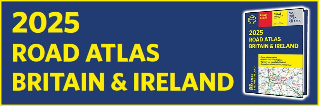
The 2025 edition of Philip’s Easy to Read Road Atlas of Britain is the ultimate companion for travellers seeking a seamless and enjoyable journey through the UK. Renowned for its user-friendly design, this atlas has been meticulously updated to provide the most accurate and comprehensive road maps available.
One of the standout features of this edition is its large-scale maps, offering clear and detailed views of every corner of Britain. Whether you’re navigating the bustling streets of London or the serene countryside of the Lake District, the easy-to-read format ensures you never miss a turn. Major roads, minor roads, and motorways are distinctly marked, along with essential information such as service stations, scenic routes, and points of interest.
At last, a road atlas that everyone can read easily, in or out of the car, no matter what the conditions. With up-to-date mapping technology, your travels have never been easier to plan. This edition contains a wealth of useful information, including tourist attractions, to ensure the best possible journey. The spiral binding allows for easy handling, and the durable cover ensures it can withstand the rigors of travel.
For anyone planning to explore the diverse landscapes and vibrant cities of Britain, the 2025 Philip’s Easy to Read Road Atlas is an indispensable tool. Its practicality and comprehensive detail make every journey more manageable and enjoyable, proving that even in the digital age, a reliable road atlas remains an essential part of travel planning.